




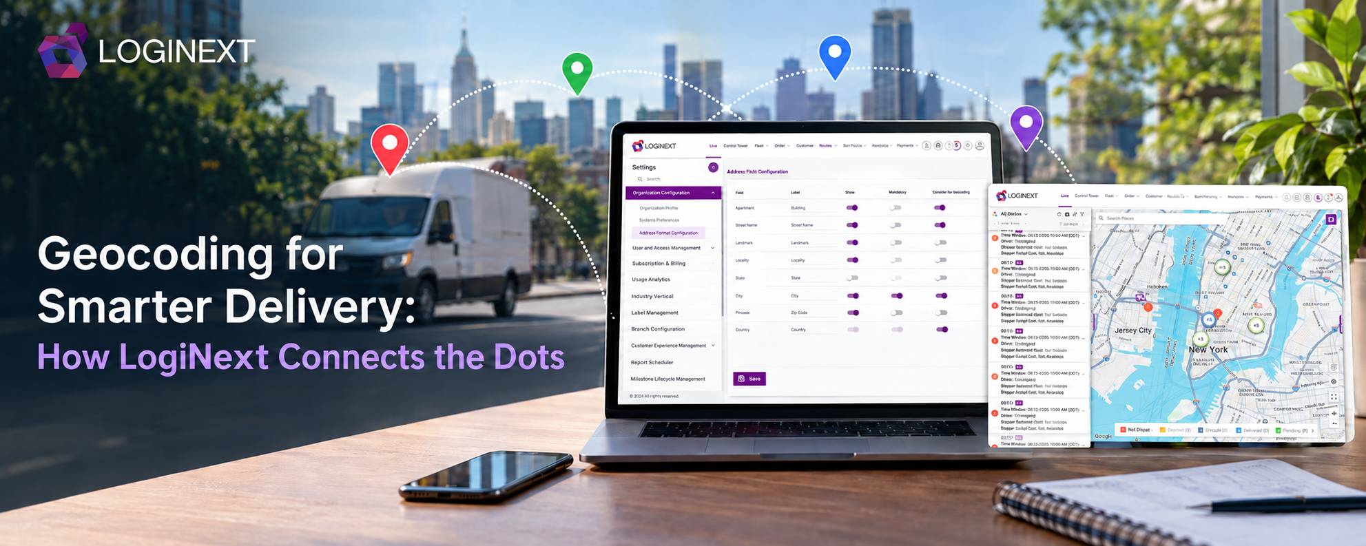
Geocoding for Smarter Delivery: How LogiNext Connects the Dots
An address can tell a person where to go. A logistics system needs something more precise. Geocoding converts a physical address into geographic coordinates, typically latitude and longitude, so routing, mapping, and delivery systems can work with an exact location. In logistics, that simple conversion has a big job. It helps turn messy address data into something a system can use for route planning, delivery management, and execution.
LogiNext uses Google’s geocoding capabilities to convert address information into coordinates and surface the quality of those results. Thereby, helping teams identify locations that may need attention before they become a problem on the road.
Key Takeaways
- Geocoding converts addresses into geographic coordinates that logistics systems can use.
- GPS coordinates support route planning, routing, navigation, and delivery management.
- Address quality directly affects how useful a geocoded location will be.
- Approximate or missing locations should be identified before they reach dispatch.
- Combining automated geocoding with validation and manual correction creates a more resilient location-data process.
- LogiNext brings geocoding into the broader logistics workflow, helping teams turn address information into actionable location data.
What Is Geocoding And How Does It Work?
Geocoding is the process of converting a human-readable address into geographic location, usually represented by latitude or longitude. Those GPS coordinates can then be plotted on a map or used by routing and navigation systems.
Think of it as translating between two languages:
Building 2, Green Residency, New York” → latitude + longitude
The basic process looks like this:
- An address enters the system from a customer, order, milestone, invoice, or shipper record.
- Relevant address fields are sent to the geocoding service.
- The service returns coordinates or when an address is ambiguous, a possible match.
- The coordinates are stored and made available for planning and execution.
Google describes geocoding as converting addresses into latitude and longitude coordinates, while also distinguishing precise, interpolated, geometric-center, and approximate results.
In LogiNext, this process happens as part of the platform’s location handling. So teams don’t have to manually turn every address into coordinates before using it for logistics operations.
Why Do GPS Coordinates Matter for Delivery Operations?
Because routing systems can’t do much with an address that only makes sense to a human.
GPS coordinates give logistics systems a usable location. Once an address has coordinates, those coordinates can support route planning, stop sequencing, navigation, distance calculations and delivery visibility.
That matters at scale. A small location error repeated across thousands of stops can create a surprisingly large operational headache.
The Universal Postal Union reported in 2025, that poor addressing can reduce successful delivery rates by up to 14%, while improving address accuracy can improve first attempt delivery success by as much as 23%.
For logistics teams, better location data can therefore help with:
- Route planning: Give routing systems usable locations for every stop.
- Route optimization: Improve distance and travel-time calculations.
- Delivery management: Create more reliable delivery plans.
- GPS tracking: Compare vehicle or driver locations against planned stops.
- Exception management: Identify locations that may need correction before dispatch.
The key idea is simple: better location data gives planning and execution systems better information to work with.
What Happens When an Address Cannot Be Geocoded Precisely?
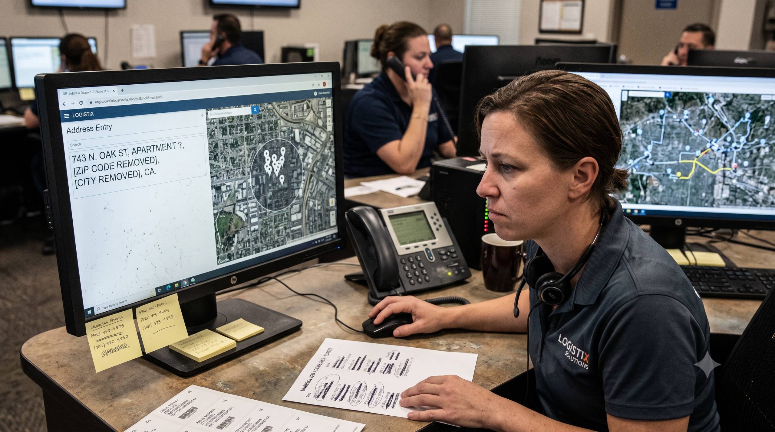
Here’s where things get interesting. An address isn’t automatically accurate just because a mapping service returns a result.
Addresses can be:
- Incomplete or missing important details
- Written with spelling errors
- Based on local landmarks instead of formal street information
- Ambiguous between multiple locations
- Associated with newly developed roads or buildings
- Formatted differently across countries and regions
Google notes that incomplete or ambiguous queries can produce less results, while partial matches may indicate that the service found only part of the requested address.
That’s why address validation and geocoding are related but not identical. Geocoding answers, “Where does this address map?” Address validation goes further by checking whether the address components make sense and whether corrections may be needed.
For a delivery operation, that distinction matters. A coordinate that looks plausible on a map isn’t necessarily the coordinate where a driver should actually stop.
How Does LogiNext Handle Geocoding Accuracy?
This is where geocoding becomes more than a map-pin exercise.
LogiNext uses Google’s geocoding API to convert address information into coordinates. The platform also provides status indicators that help operations teams understand how confidently a location has been mapped.
System Geocoded (Green):
The system successfully found coordinates for the address, so the location is ready to be used for routing and planning.
Approximately Geocoded (Orange):
The address matched multiple possible locations, and the system selected the most relevant result. Teams can review or confirm these locations when greater certainty is needed.
Manually Geocoded (Blue):
The location was refined manually, either by adjusting the coordinates or providing them directly.
Not Geocoded (Red):
The system could not find usable coordinates. The address needs to be corrected before it can reliably support route planning.
This creates an important operational layer. Teams can see which locations are ready for execution and which ones deserve a second look.
Instead of discovering an address problem when a driver is already searching for a building, operations teams can identify questionable locations earlier.
How Can Teams Improve Location Accuracy?

Geocoding works best when teams treat location quality as an ongoing operational process rather than a one-time lookup.
A practical approach is:
1. Start With Better Address:
Capture complete, structured address information wherever possible, including building, street, locality, and postal details. Better inputs give the geocoding system more context, improving its ability to identify the correct location.
2. Geocode Before Planning:
Convert addresses into coordinates before route planning and dispatch. This gives planners usable location data before they assign routes, sequences, and deliveries.
3. Identify Uncertain Results:
Use location status indicators to distinguish reliable coordinates from approximate or missing ones. This helps operations teams identify addresses that may require additional review before dispatch.
4. Validate Questionable Addresses:
When a location looks unreliable, use an address validation workflow or customer confirmation process. Early validation can prevent incorrect locations from reaching drivers and disrupting delivery execution.
5. Allow Corrections:
Manual pin refinement or direct latitude and longitude entry can resolve locations that automated mapping cannot confidently identify. This gives teams a practical fallback when address data remains incomplete or ambiguous.
What Are the Benefits of Geocoding in Logistics?
When location data is reliable, the benefits extend beyond simply putting a pin on a map.
More accurate route planning: Coordinates give routing systems a precise location to work with.
Better delivery execution: Drivers receive more useful stop locations, reducing unnecessary searching and detours.
Fewer address-related exceptions: Teams can identify questionable locations before dispatch.
Better delivery visibility: Planned locations provide a stronger reference point for tracking and monitoring.
Smarter delivery management: Location information becomes usable data across planning, dispatch, routing, and execution.
And the impact can add up quickly. A 2024 study published in the Central European Journal of Operations Research found unsuccessful first-service attempts across 10 Spanish provinces in 2021 ranged from 8.1% to 20%, with causes including wrong addresses, missing information, customer absence, and other operational issues.
Geocoding won’t solve every delivery failure. It can, however, remove one very avoidable source of operational friction: not knowing exactly where a stop is.
Also Read: LogiNext’s Logistics Control Tower: A Guide to Smarter Operations
Frequently Asked Questions
1. What is geocoding in logistics?
Geocoding converts a physical address into geographic coordinates, usually latitude and longitude. Logistics systems can then use those coordinates for route planning, navigation, delivery management, and location-based operations.
2. How does geocoding improve route planning?
Route planning systems need usable locations to calculate distances and sequence stops. Geocoding converts address data into coordinates that can be used as inputs for routing and optimization.
3. What is the different between geocoding and address validation?
Geocoding converts an address into coordinates. Address validation checks whether the address information is valid, complete, and potentially correctable. The two processes can work together to improve location quality.
4. Can every address be geocoded accurately?
No. Results depend on the quality of the address and available map data. Ambiguous, incomplete, misspelled, or poorly mapped addresses can produce approximate results or no result at all.
5. How does LogiNext handle approximate locations?
LogiNext uses Google-powered geocoding and surfaces geocoding status so teams can distinguish system-geocoded, approximately geocoded, manually geocoded, and non-geocoded locations. Teams can then use validation or manual correction workflows where necessary.
Conclusion
A delivery address is only useful to a logistics system when it can turn that address into a location it understands. Geocoding bridges that gap, converting everyday addresses into coordinates that support route planning, delivery management, tracking, and execution.
But the real value comes from what happens next. When teams can identify approximate locations, validate questionable addresses, and correct missing coordinates before dispatch, location data becomes an operational asset rather than another source of exceptions.
LogiNext brings this process into the wider logistics workflow, helping teams move from address → coordinates → planning → execution without making location quality someone else’s problem.
Want to see how LogiNext can help turn location data into better delivery execution? Explore the platform or request a demo to see it in action.
Like
 |  |  |




@LogiNext